Are you looking for all the essential information to plan and prepare to hike the Inca Trail?
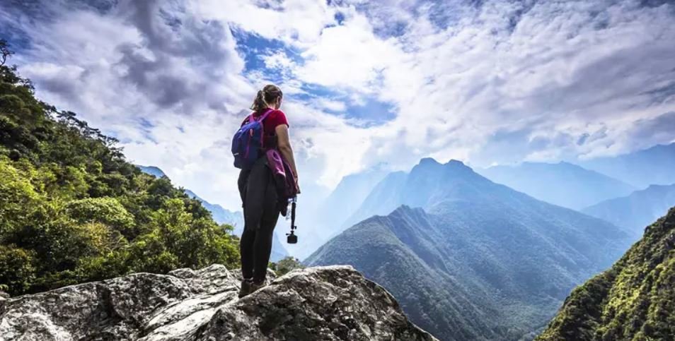
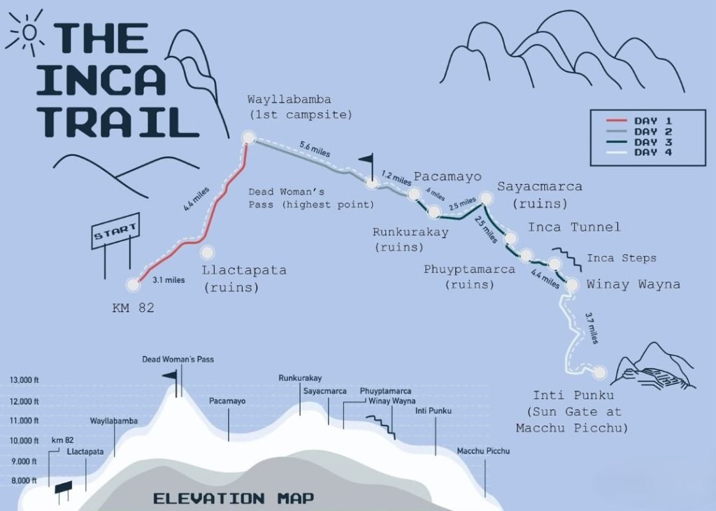
In this article you will find the main facts about the altitude map to hike this wonderful route and reach the citadel of Machu Picchu as the ancient Incas did! The Inca Trail is a trekking route that extends from Km 82 in Ollantaytambo, located at 2,600 meters above sea level, to the Sun Gate in Machu Picchu at 2,745 meters above sea level, according to the altitude map. This challenging four-day trek features significant altitude variation, with the second day reaching the highest point at 4,215 meters at Warmiwañusca Pass, also known as Dead Woman’s Pass.
Inca Trail Day 01
The Classic Inca Trail begins at Km 82 in a place known as Ollantaytambo, this village is located at 2,600 meters above sea level / 8520 ft. From Km 82, the road descends gently in the morning, towards the archaeological site of Patallacta. It takes approximately 3 hours and you walk about 10 km depending on the chosen campsite. This day’s hike is not complicated and is a perfect introduction to what the following days of trekking have in store for you.
Inca Trail Day 02
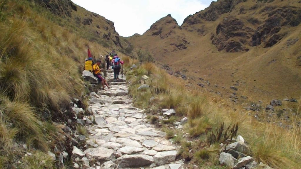
The second day is packed with hours and hours of hiking, where there will only be elevation gain and altitude gain; it is much more difficult than day one and this is a real challenge for the body. The elevation gain of the Inca Trail on the second day is the most complex of the trek with over 1,200 meters of elevation gain. You will conquer the Warmiwañusca Pass, also called the Dead Woman’s Pass, which is the highest point of the trek which is located more than 2000 meters above the citadel of Machu Picchu at 4,215 masl / 13,828 ft.
Inca Trail Day 03
On the third day you will trek to the archaeological sites of Runkurakay, Sayacmarca and Phuyupatamarca. Then you will start with a series of more than 1,000 stone steps to the ruins of Wiñay Wayna located at 2650 masl / 8694 ft, and finally you will arrive at your campsite where you will spend the night.
Inca Trail Day 04
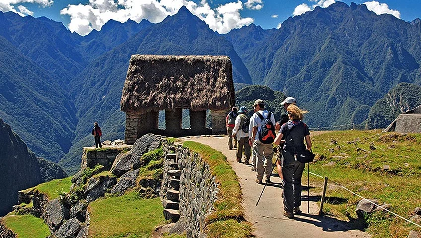
The fourth day is all about Machu Picchu! After the hike you will reach a very steep climb of more than 50 stone steps towards the Inti Punku or the Sun Gate of Machu Picchu located at 2745 masl / 9005 ft! This point was known to be the ancient classic entrance to the citadel of Machu Picchu, where the passage of all visitors was controlled. The day normally ends with a guided tour of the citadel of Machu Picchu.
Map of the Inca Trail and elevation profile
What is the elevation of the Inca Trail?
As seen on the map, the elevation of the Inca Trail varies widely between ascents and descents in altitude. The easiest day is the first day as it is relatively flat, the day in which the least variation in elevation is experienced. Already on the second day the elevation of the Inca Trail varies significantly, reaching the highest point at 4,200 m (13,828 ft) above sea level. The second day is the hardest, starting at 3,000 m (10,000 ft) and ascending to the Paso de la Mujer Muerta (Dead Woman’s Pass).
The third and fourth day of the Inca Trail is a relative descent to Machu Picchu. Machu Picchu is at 2,430 m (7,972 ft). The Inca Trail is a complicated trek and not suitable for all hikers. You are going to work hard on the hike. But the views and the archaeological destinations located in the middle are something that makes this trail worth taking.
Inca Trail Frequently Asked Questions
Where does the Inca Trail begin and end?
The Inca Trail begins at kilometer 42 in the Sacred Valley and ends at the Sun Gate in Machu Picchu.